Ficha
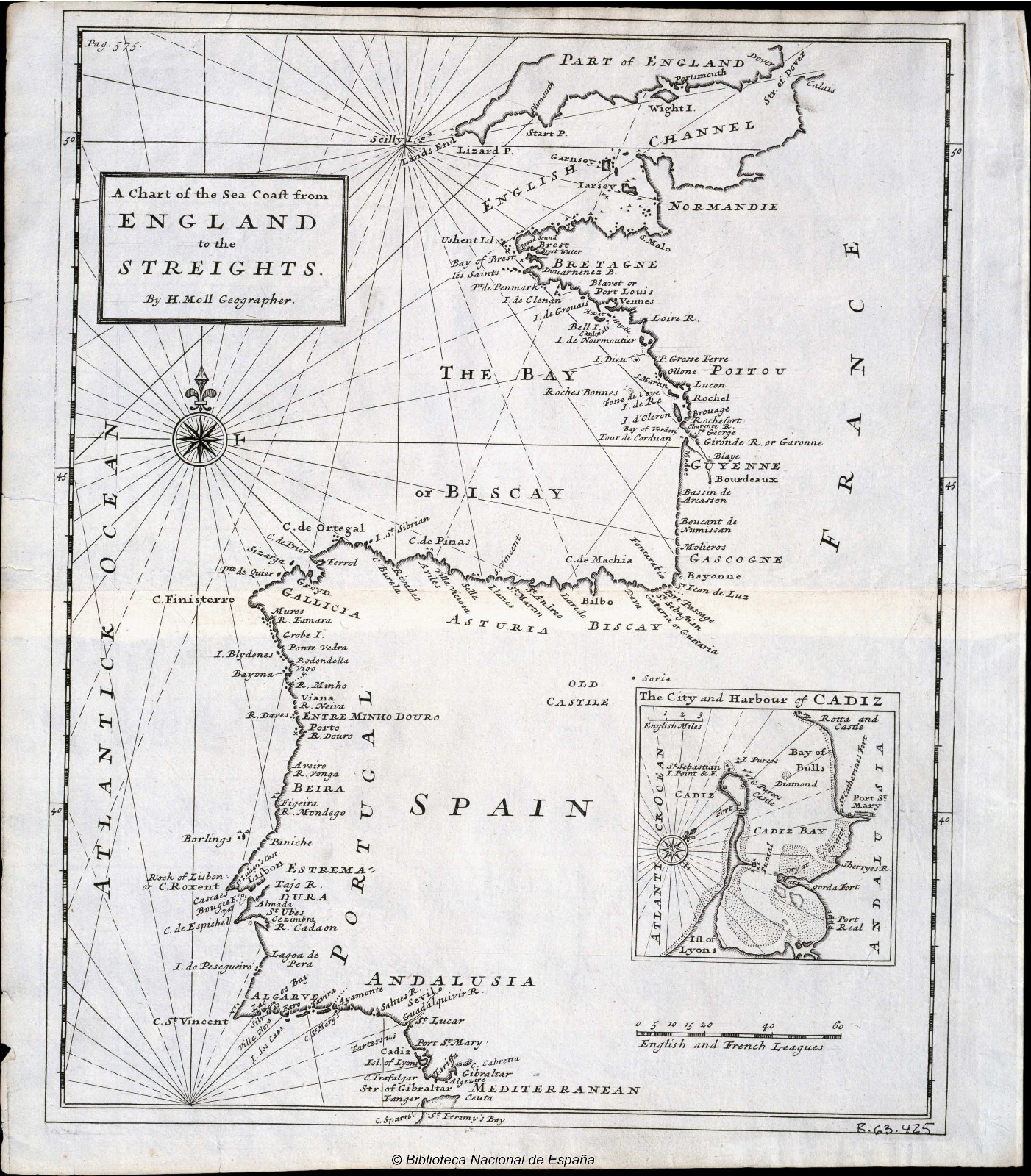
Mapa de la costa del mar desde Inglaterra hasta el Estrecho.
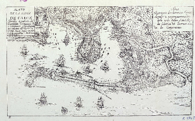
A chart of the Sea Coast from England to the Streights. Inserta en el ángulo inferior derecho, dentro de un recuadro: "The City and Harbour of Cadiz" CDU(460) (4 O.)- Fecha
- entre 1700 y 1750
- Archivo / Insitutción
- Biblioteca Digital Hispánica (BDH)
- Sección / Lugar en el Archivo
- bdh0000017821
- Autoría
- Herman Moll
- Editor
- [S.l. : s.n
- Idioma
- Inglés
- Formato
- Material Cartográfico Impreso
- Escala [ca. 1:5.400.000]. 60 English and French Leagues [= 6,2 cm]
- Tamaño
- 1 carta náutica : grab.; 36 x 34 cm
- Tipo
- Naval
Of the same item Set - Mapas de Cádiz entre el Siglo XV - XIX
Conjuntos de fichas
Medios
1 de 1